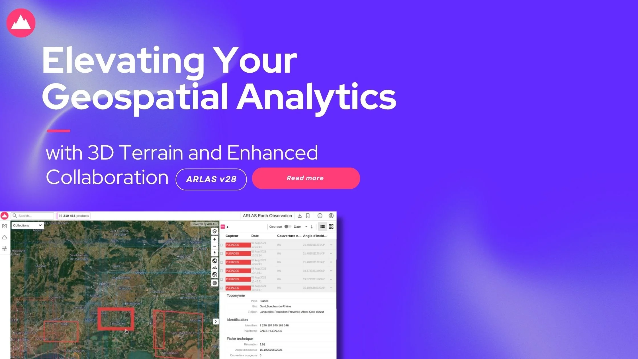
ARLAS v28: Elevating Your Geospatial Analytics with 3D Terrain and Enhanced Collaboration
ARLAS Version 28 is your gateway to effortlessly exploring, analysing, and visualising geo big data.
Remember, don't build your Geo Data Platform from scratch; develop your geodata analytics service with ARLAS.
We handle the heavy lifting so you can deliver mission-critical geospatial intelligence to your clients in record time.

ARLAS v27: Empowering Your Geospatial Data with Enhanced Visuals and Core Strength.
Discover Arlas V27
In this newest version of ARLAS, we're not just pushing the boundaries of visualisation; we've also ramped up some core functionalities by updating Angular and transitioning from Mapbox to MapLibre.
Read more to find out !

ARLAS v26: PROMOTING SMOOTHER DASHBOARD TO DATA DIMENSION INTERACTION
PROMOTING SMOOTHER DASHBOARD TO DATA DIMENSION INTERACTION
In the last ARLAS release, we introduced user access and permission setting tools to support user management and data security. The newest update, ARLAS version 26, continues to focus on providing users with features that simplify data exploration and maintain scalability.

ARLAS v24: NEW LOOK WITH AN ERGONOMIC USER EXPERIENCE
ARLAS SUMMER RELEASE!
ARLAS is constantly evolving to give users of varied technical skills a smooth experience with geospatial analytics.
ARLAS version 24 not only brings new functionality but also continues our journey of simplifying geo big data exploration.

SIMPLIFIED GEOSPATIAL DATA EXPLORATION
ARLAS version 23 is more than just a tool; it's a gateway to simple exploration, analysis, and visualisation of geolocated images and data.

ULTIMATE CUSTOMISATION FOR ENHANCED GEOSPATIAL INTELLIGENCE
The new ARLAS Explo release offers enhanced dashboard customisation and visualisation for in-depth location intelligence.